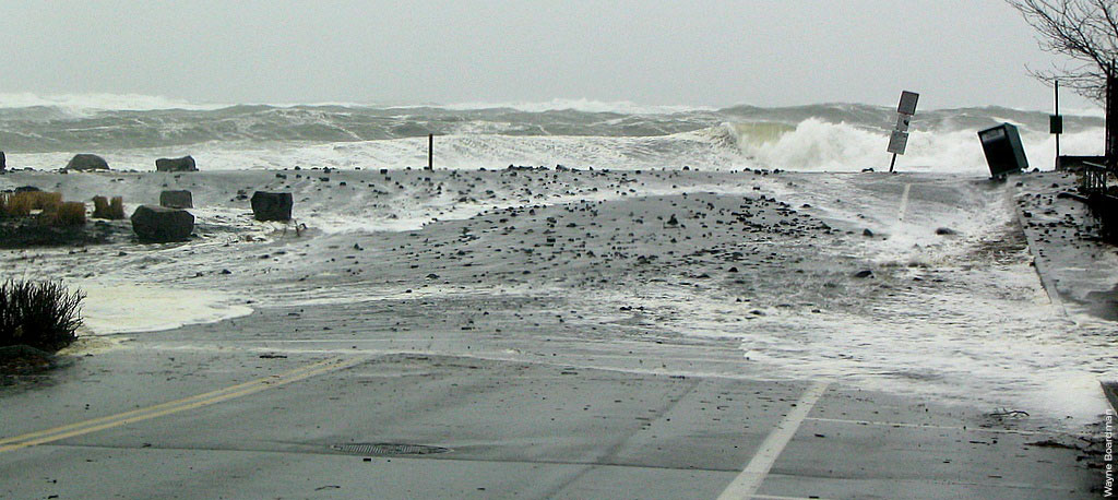
High-resolution data on coastal storm and flood risk in the Northeast

High-resolution data on coastal storm and flood risk in the Northeast

Through its Resilient Shorelines Grant Program, the Northeast Regional Ocean Council (NROC) funded the development of a database and web services that provide streamlined access to high-resolution data on coastal storm and flood risk in the Northeast. Produced by a...

Deep-Sea Coral Management Areas Updated on Northeast Ocean Data

Northeast Ocean Data has updated its Data Explorer interactive map to show the Coral Protection Zones selected by the New England Fishery Management Council (NEFMC) to be included in the Omnibus Deep-Sea Coral Amendment. The Coral Protection Zones include two areas in...

Updated Regional Eelgrass Map

Northeast Ocean Data announces an update to the regional eelgrass interactive map for the northeastern United States. The newly added datasets include eelgrass beds in New Hampshire, Massachusetts, and Rhode Island based on state datasets updated since 2014. Eelgrass...