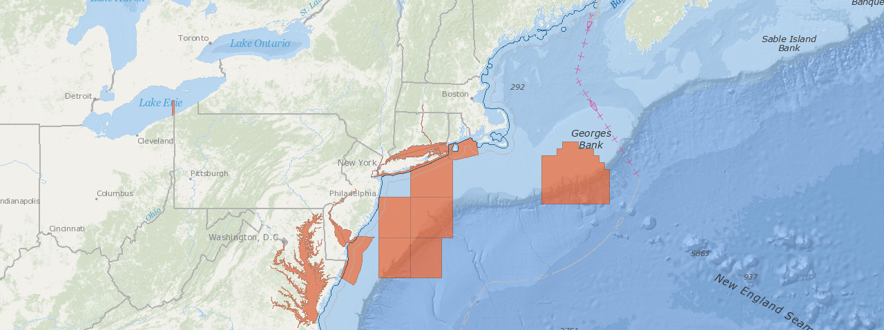
Northeast Ocean Data has added a dataset of administrative boundaries pertaining to the Coastal Zone Management Act of 1972.
In the Act, Section 307, known as the “federal consistency” provision, gives states a strong voice in federal agency decision making for activities that occur outside the state’s coastal zone but that may affect a state’s coastal uses or resources. Those areas outside the state’s coastal zone are defined as Geographic Location Descriptions (GLDs). Federal agency, federal license or permit, and federal financial assistance activities are subject to federal consistency review if the activity occurs in a GLD.
The Data Explorer interactive map now includes an option to display the Geographic Location Descriptions for all states that have defined them. When using the Data Explorer, GLDs can be added by clicking on “Administrative Boundaries” and then selecting “Federal Consistency Geographic Location Descriptions”. The GLDs appear on the map in an orange color.
Interactive map:


