

Sep 2, 2026
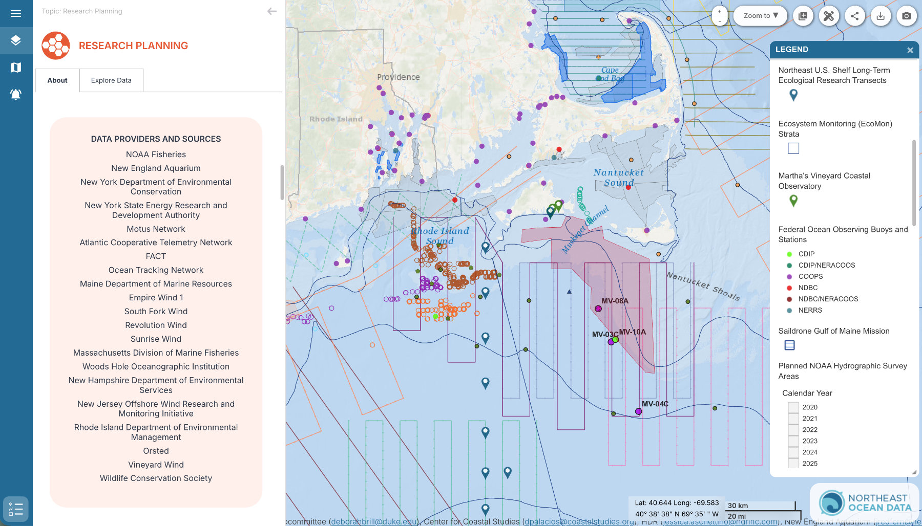
The Northeast Ocean Data Portal and Mid-Atlantic Ocean Data Portal launched a new data topic – Research Planning – that incorporates all of the datasets developed by the Regional Wildlife Science Collaborative (RWSC) to represent where data are being collected for research and monitoring purposes in U.S. Atlantic waters.
In 2024, RWSC launched a stand-alone Research Planning Map. That map displays data curated by each RWSC Subcommittee showing the locations of data collection infrastructure and activities, including transects flown by aircraft to observe whales and point locations where acoustic receivers record signals from passing tagged fish, for example.

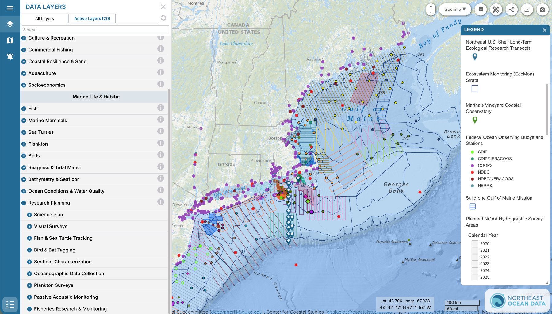
The integration of Research Planning data into the Northeast and Mid-Atlantic Ocean Data Portals will increase the accessibility of that information to decision makers who are already using the Portals for permit review and other ocean planning and management applications.
The stand-alone Research Planning Map website will continue to be maintained and updated at https://rwsc.org/map for a short time and then it will be retired. All links to the Research Planning Map will redirect to the Northeast and Mid-Atlantic Ocean Data Portals. Data will continue to be reviewed and updated regularly by the Subcommittees.
Visit the Portal’s Research Planning Topic Page to learn more about each of the Research Planning Subcategories (e.g., Visual Surveys, Plankton Surveys, Passive Acoustic Monitoring) and where the information comes from at https://www.northeastoceandata.org/research-planning or by clicking the grey “i” icon next to Research Planning in the Data Explorer table of contents.
For more information: