Map Galleries provide quick access to ready-made, interactive maps relating to issues in the northeastern US region, with many of the maps showing customized combinations of relevant data.
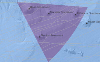
Northeast Canyons and Seamounts
On September 12, 2023, the U.S. Fish and Wildlife Service (USFWS) and National Oceanic and Atmospheric Administration (NOAA) jointly released a Draft Management Plan and Environmental Assessment for the Northeast Canyons and Seamounts Marine National Monument for public review and comment (view the Portal news item). To view all written comments that were received during the public comment period, visit https://www.regulations.gov/document/FWS-R5-NWRS-2023-0154-0001.
On February 16, 2024, NOAA Fisheries published a notice in the Federal Register to implement regulations for the Northeast Canyons and Seamounts Marine National Monument. This measure defines the boundary coordinates of the Monument area, reflects Presidential Proclamation 10287’s prohibition on commercial fishing within the boundaries of the Monument in the Magnuson-Stevens Act prohibitions at § 600.725, and clarifies that commercial fishermen may transit through the Monument if fishing gear is stowed and not available for immediate use during passage through the Monument.
This Map Gallery provides interactive versions of Figures 12-18 in the Draft Management Plan and Environmental Assessment that are Northeast Ocean Data Portal maps with relevant data on marine life and ocean uses. Click on a thumbnail image below to go to a web page that has a larger map image, a button to launch the interactive map, and a link to download a PDF version of the map.
For more information, visit the Northeast Canyons and Seamounts Marine National Monument page.
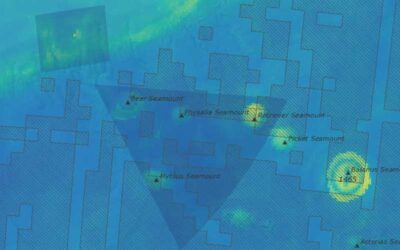
Fig. 12: Estimated offshore/pelagic seabird abundance
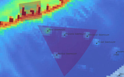
Fig. 13: Modeled marine mammal abundance
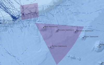
Fig. 14: Pleasure craft sailing vessel transit counts
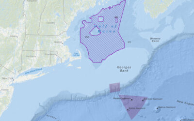
Fig. 15: Gulf of Maine offshore wind area
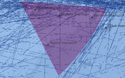
Fig. 16: Cargo vessel transit counts through the Seamounts Unit
Fig. 17: Cargo vessel transit counts through the Canyons Unit