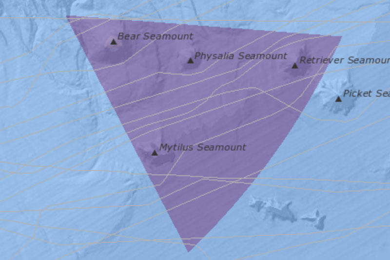
Fig. 16: Cargo vessel transit counts through the Seamounts Unit
Current Issues Map Galleries Current Issues Map Galleries | Northeast Canyons and Seamounts Cargo vessel transit counts through the Seamounts Unit of Northeast Canyons and Seamounts Marine National Monument (2022) This data appears in Figure 16 of the Northeast...
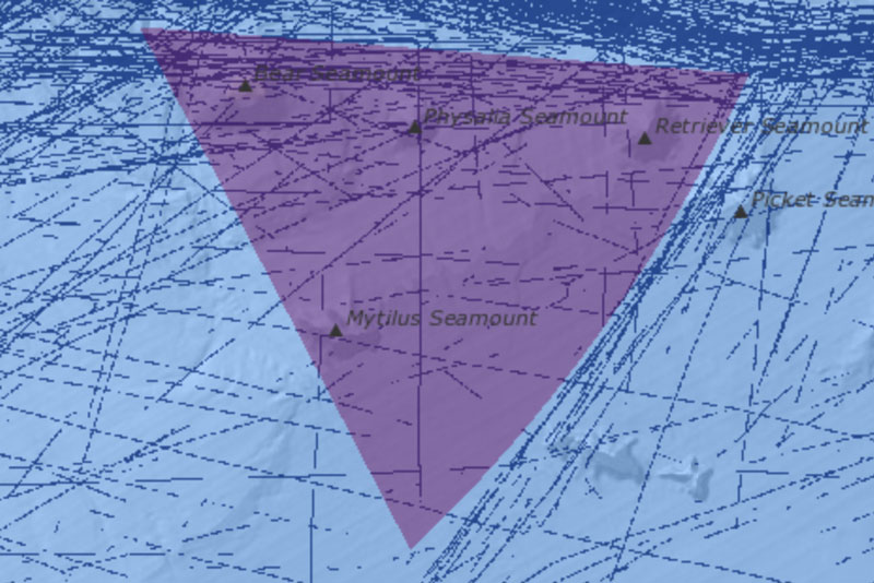
Fig. 17: Cargo vessel transit counts through the Canyons Unit
Current Issues Map Galleries Current Issues Map Galleries | Northeast Canyons and Seamounts Cargo vessel transit counts through the Canyons Unit of Northeast Canyons and Seamounts Marine National Monument (2022) This data appears in Figure 17 of the Northeast Canyons...