Skip to the content
Updates
Contact
Subscribe
Home
Topics
Marine Life & Habitat
Bathymetry & Seafloor
Birds
Fish
Marine Mammals
Ocean Conditions & Water Quality
Plankton
Sea Turtles
Seagrass & Tidal Marsh
Human Dimensions
Administrative Boundaries
Aquaculture
Coastal Resilience & Sand
Commercial Fishing
Culture & Recreation
Energy & Infrastructure
Marine Transportation
National Security
Socioeconomics
Data Explorer
Get Data
Agency Actions
Bureau of Ocean Energy Management (BOEM)
Environmental Protection Agency (EPA)
NOAA Fisheries
US Army Corps of Engineers
US Coast Guard
About
Marine Transportation
Marine Transportation
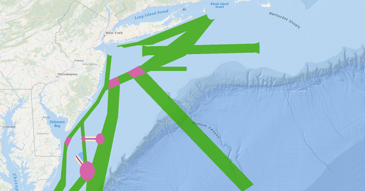
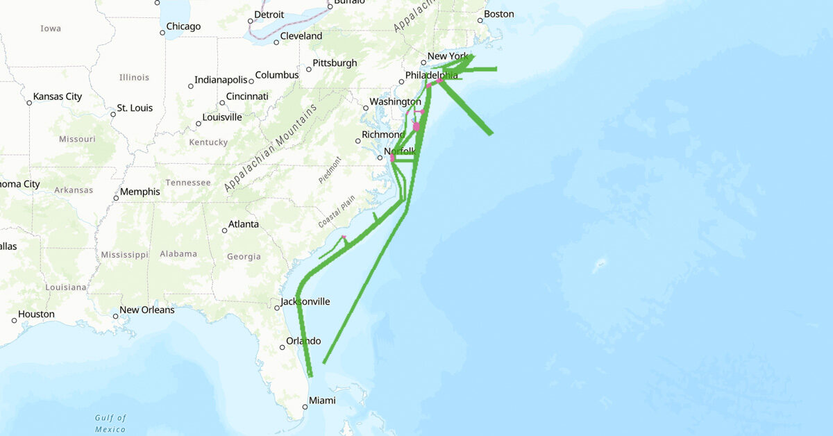
Public Comment Opportunity: Shipping Safety Fairways Along the Atlantic Coast
11-May-2026
Marine Transportation
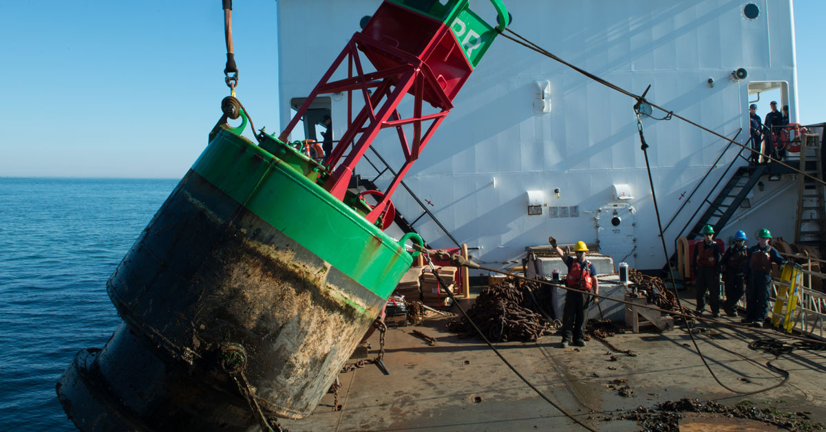
Coastal Buoy Modernization Proposal Update
26-Sep-2025
Marine Transportation
New 2024 Vessel Traffic Data, Maps, and Tools
16-Sep-2025
Marine Transportation
Coast Guard First District Coastal Buoy Modernization Initiative Proposal
29-Apr-2025
Marine Transportation
New 2023 Vessel Traffic Data, Maps, and Tools
6-Jun-2024
Marine Transportation
Coast Guard Public Meeting: Proposed Establishment of Shipping Safety Fairways along the Atlantic Coast
25-Mar-2024
Marine Transportation
Coast Guard Seeks Public Input on Proposed Shipping Safety Fairways
4-Mar-2024