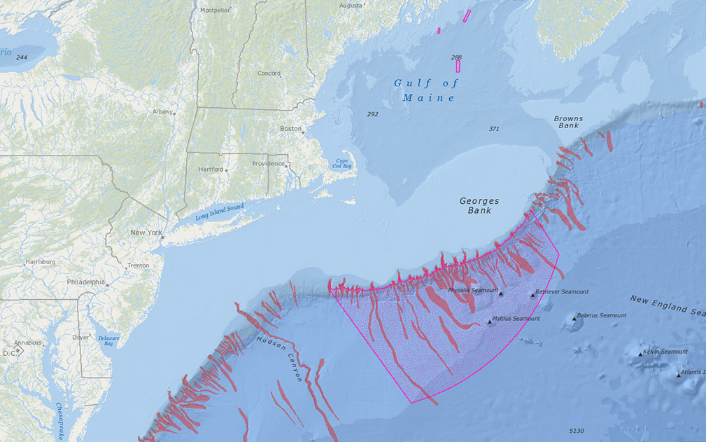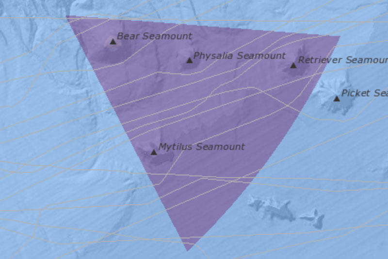
Northeast Canyons and Seamounts
Map Galleries Map Galleries provide quick access to ready-made, interactive maps relating to issues in the northeastern US region, with many of the maps showing customized combinations of relevant data. Northeast Canyons and Seamounts On September 12, 2023, the U.S....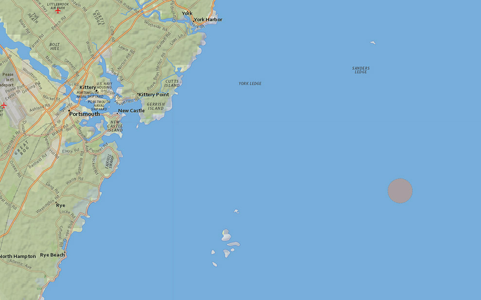
Isles of Shoals North Disposal Site
Current Issues Map Galleries Current Issues Map Galleries | Proposed Disposal Site Isles of Shoals North Disposal Site (Proposed) Launch Interactive Map Shareable link to interactive map: www.northeastoceandata.org/CKl0esio Download pdf version Related: New maps and...Isles of Shoals North Disposal Site
Map Galleries Archived Map Galleries provide quick access to ready-made, interactive maps relating to topics for which a planning or management process has been completed. Isles of Shoals North Disposal Site Gallery (Archived) This archived gallery contains...Deep-Sea Corals
Map Galleries Map Galleries provide quick access to ready-made, interactive maps relating to issues in the northeastern US region, with many of the maps showing customized combinations of relevant data. Deep-Sea Corals Gallery (Archived) This gallery is intended to...