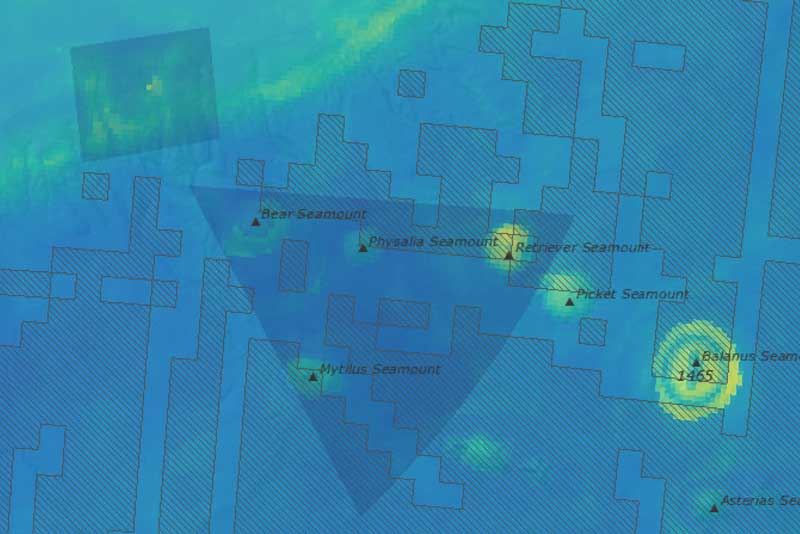
Fig. 13: Modeled marine mammal abundance
Current Issues Map Galleries Current Issues Map Galleries | Northeast Canyons and Seamounts Modeled marine mammal abundance in and around Northeast Canyons and Seamounts Marine National Monument This data appears in Figure 13 of the Northeast Canyons and...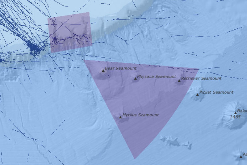
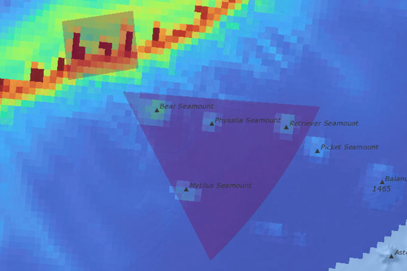
Fig. 14: Pleasure craft sailing vessel transit counts
Current Issues Map Galleries Current Issues Map Galleries | Northeast Canyons and Seamounts Pleasure craft sailing vessel transit counts in and around Northeast Canyons and Seamounts Marine National Monument (2022) This data appears in Figure 14 of the Northeast...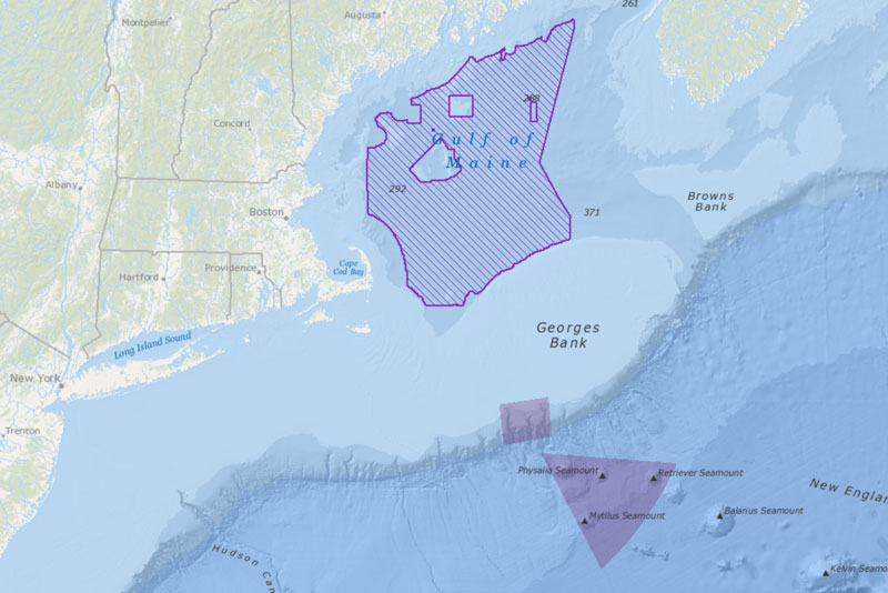
Fig. 15: Gulf of Maine offshore wind area
Current Issues Map Galleries Current Issues Map Galleries | Northeast Canyons and Seamounts Gulf of Maine Final Call Area (April 2023) for offshore wind and the Northeast Canyons and Seamounts Marine National Monument This data appears in Figure 15 of the Northeast...
Fig. 16: Cargo vessel transit counts through the Seamounts Unit
Current Issues Map Galleries Current Issues Map Galleries | Northeast Canyons and Seamounts Cargo vessel transit counts through the Seamounts Unit of Northeast Canyons and Seamounts Marine National Monument (2022) This data appears in Figure 16 of the Northeast...