


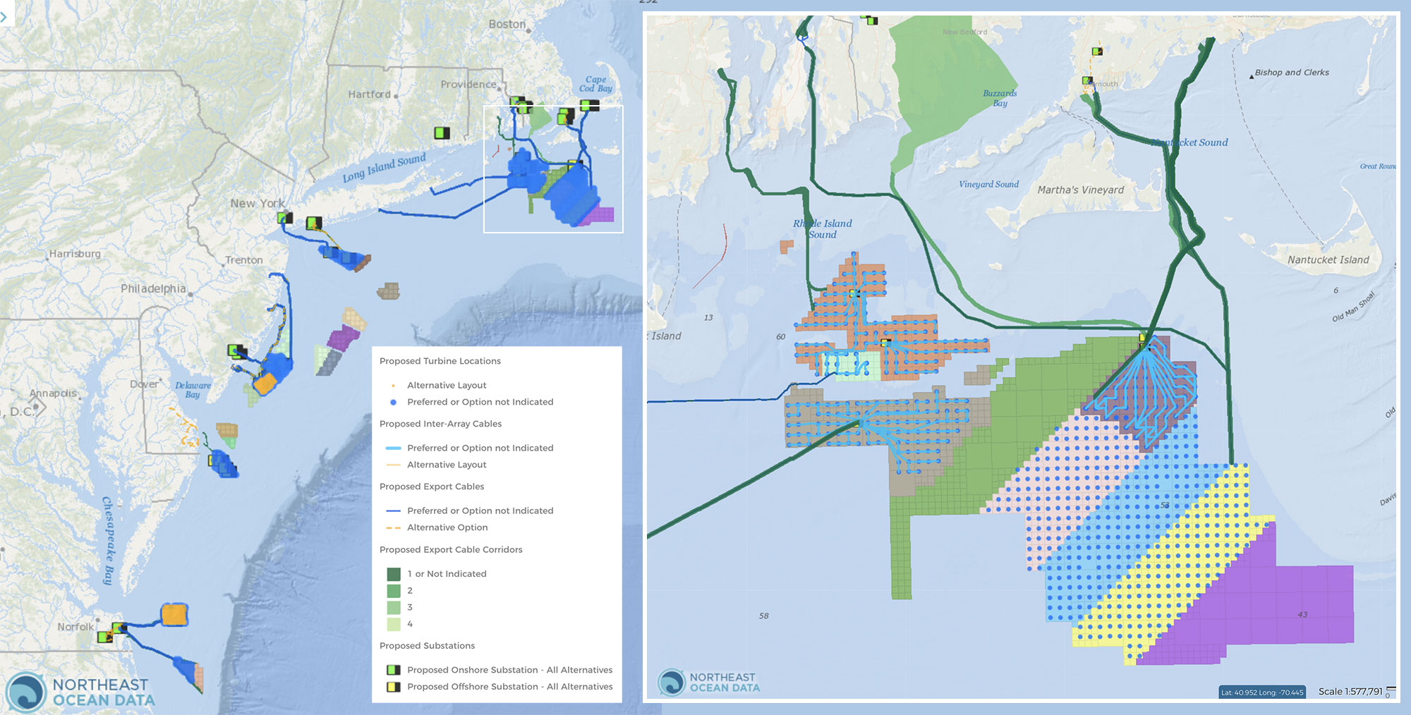
Five new map layers show proposed locations for offshore wind energy infrastructure including turbine locations, substations, inter-array cables, export cables, and export cable corridors.
These data are shown for offshore wind projects that have been permitted (Vineyard Wind 1 and South Fork Wind Farm) and certain projects in review (Revolution Wind, Sunrise Wind, New England Wind, Beacon Wind, SouthCoast Wind, Empire Wind, Atlantic Shores Offshore Wind 1 & 2, Ocean Wind, Maryland Offshore Wind, Coastal Virginia Offshore Wind Commercial, and Kitty Hawk North). In addition, installed offshore wind infrastructure data have also been updated. Currently, only the Coastal Virginia Offshore Wind Pilot project exists in federal waters. The updated infrastructure data for this project can be viewed under the Energy and Infrastructure > Operational Installations categories in the Data Explorer.
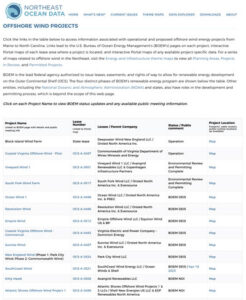
Offshore Wind Projects Page
The Northeast Ocean Data Portal’s Offshore Wind Projects page summarizes the status of each proposed offshore wind project by lease area and includes information on ownership, project phasing (where relevant/available), and permitting status, provides links to interactive maps displaying the project location and these details, and notes whether a public comment period is open with respect to a permitting milestone.
The map layers and information on the Offshore Wind Projects page present the most up-to-date publicly available plans submitted by developers to the Bureau of Ocean Energy Management (BOEM). The Northeast Ocean Data Portal Working Group produced the maps using data provided by BOEM. The maps can be accessed in the Data Explorer under Energy & Infrastructure > Planning Areas, with the Projects in Review and Permitted Projects categories.
Since proposed project design, review, and permitting is an iterative process, the final design and buildout of the features shown in these layers may be significantly different than shown in the map layers. The Portal will continue to update the maps as new public information becomes available. Newer proposals may have been submitted to BOEM’s Office of Renewable Energy Programs which have yet to be reviewed and made public.
The new layers include:
Proposed Turbine Locations: Users can view the proposed locations of wind turbines within project envelopes and click on the points for popups containing additional information such as anticipated turbine heights, model information and power outputs. In some cases, more than one proposed layout (e.g., preferred or alternative) is provided.

Proposed Substations: This layer shows the proposed sites of offshore substations that would be fed power from the wind turbines via cables and act as collectors to transport the electricity to the export cable, or out to consumers via onshore substations. When available, the locations of proposed onshore substations associated with projects are also shown. For some projects, more than one proposed layout (e.g., preferred or alternative) is provided.

Proposed Project Inter-array Cables: The lines shown in this layer represent the proposed cable linkages between turbines or between turbines and offshore substations within a wind project. For some projects, more than one proposed layout (e.g., preferred or alternative) is provided.

Proposed Export Cables: This map shows the routes of cables that developers intend to build to transmit electricity to shore. For some projects, more than one proposed layout (e.g., preferred or alternative) is provided. Users can click the cables for popup windows containing data such as the route name, cable length and proposed burial depth range.

Proposed Export Cable Corridors: These polygons represent the potential area (easement) in which proposed locations of the export cable portions of a wind farm may be and are meant to show the area that the developer intends to investigate for the final location of one or more export cables. Users can click the corridors for information including their maximum anticipated cable count and project name. For some projects, more than one proposed layout (e.g., preferred or alternative) is provided. Wind farm developers have provided their best and other options in order of precedence (1-n).

