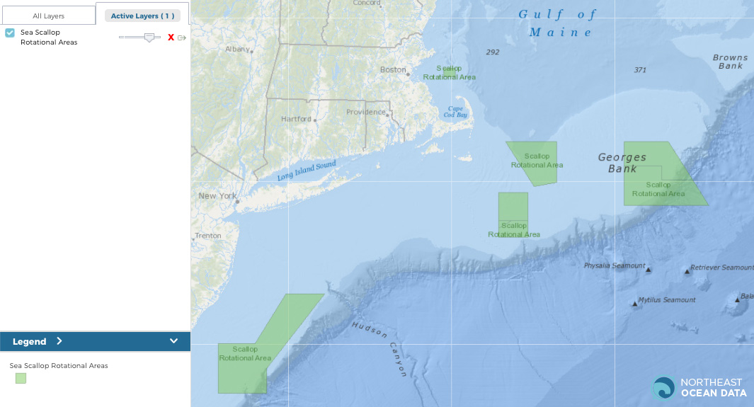
Maps representing revised boundaries for Sea Scallop Rotational Areas are now updated on the Northeast Ocean Data Portal, as made available by the NOAA Fisheries Service’s Greater Atlantic Regional Fisheries Office (GARFO). The updated Sea Scallop Rotational Areas layer can be found in the Data Explorer within the Commercial Fishing category and Management Areas subcategory.
Sea Scallop Rotational Areas are part of the scallop access rotational program. When the area is open, vessels are allocated a specific number of trips in a given fishing year into the area. The layer was recently updated when NOAA Fisheries approved Framework Adjustment 32 to the Atlantic Sea Scallop Fishery Management Plan for fishing years 2020 and 2021.


