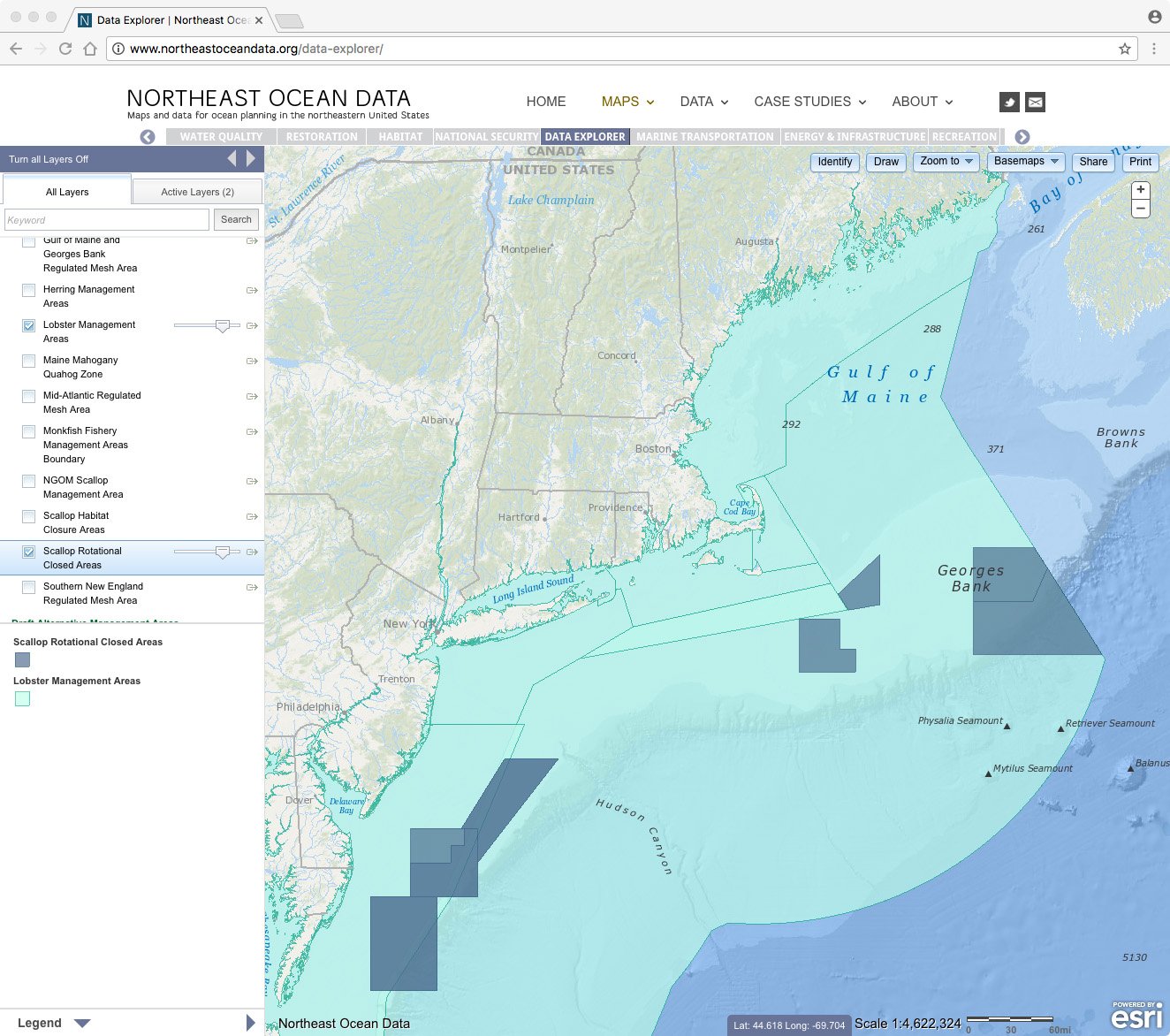
Now available on Northeast Ocean Data are updated data and maps of fisheries management areas in the northeastern United States:
- Updated lobster management areas and scallop rotational areas with new data from the NOAA Greater Atlantic Regional Fisheries Office.
- Revised cartography using different colors for each fishery, making it easier to distinguish them when displayed on the same map.
The updates are available in both the Commercial Fishing Theme Map, which shows a curated selection of data with simple functionality, and in the Data Explorer, which offers advanced functionality including the ability to select from all Northeast Ocean Data layers and to view any combination of data on the same map.


