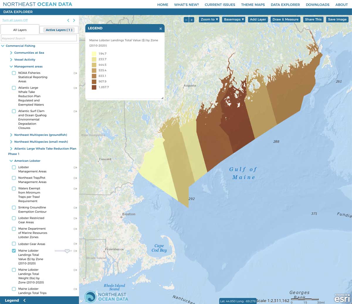
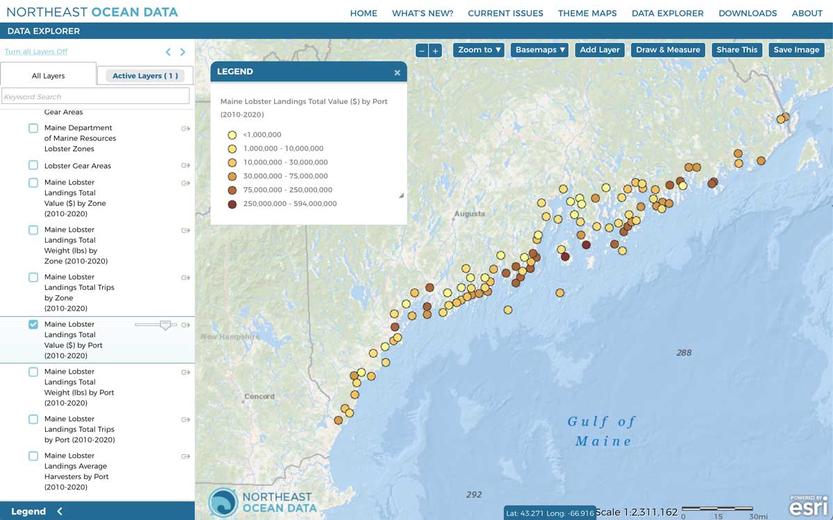
New data products developed in collaboration with the Maine Department of Marine Resources (Maine DMR) depict Maine lobster landings data over the last decade in the Gulf of Maine.
Seven new layers show Maine modern lobster landings data summarized by Maine port and by Maine lobster zone. Maine lobster zone boundaries are co-management areas where fishing regulations are determined with the involvement of local fishery representation. The summaries leverage the publicly available data and maps on the Maine Landings Data Portal. The Maine Landings Data Portal can also be used to display maps and graphs of annual landings data for lobster as well as for several other species in both modern and historic time ranges. The Maine Landings Data FAQ provides more information about how Maine DMR collected landings data for multiple species, including lobster.
The new lobster landings summaries include:
- Total value ($) by Zone (2010-2020)
- Total weight (lbs) by Zone (2010-2020)
- Total number of trips by Zone (2010-2020)
- Total value ($) by Port (2010-2020)
- Total weight (lbs) by Port (2010-2020)
- Total number of trips by Port (2010-2020)
- Average number of harvesters by Port (2010-2020)
The new lobster landings data are different from other commercial fishing data products on the Portal in that they depict landings data and not fishing vessel activity or vessel trip report data. For this reason, the new layers are found under Commercial Fishing > Management Areas > American Lobster in the Data Explorer Table of Contents.


