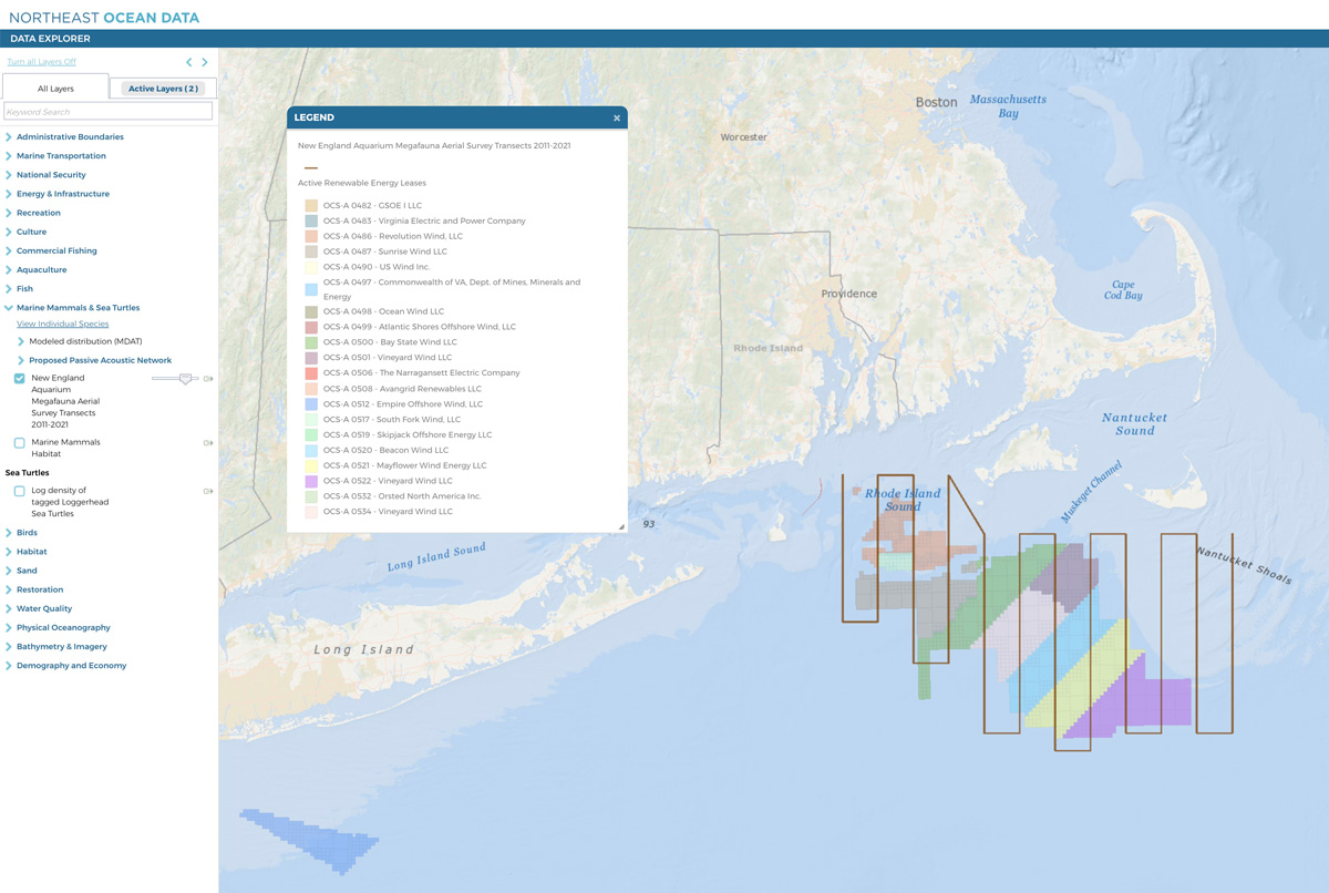
In collaboration with the New England Aquarium and the Regional Wildlife Science Entity (RWSE), the Northeast Ocean Data Portal has added a layer depicting survey transects conducted from roughly 2011-2021 to detect and quantify large whales and other marine life in southern New England Wind Energy Areas (WEAs).
These data, along with other recently released maps depicting a proposed Passive Acoustic Monitoring Network, are part of an effort to support planning for regional-scale monitoring of marine life along the U.S. Atlantic coast. The new layer shows aerial survey transects conducted by the New England Aquarium over the WEAs near Rhode Island and Massachusetts. These surveys focused on all marine megafauna visible from a plane (excluding birds), with the intent to characterize the presence and abundance of species before construction activities associated with offshore wind begin. The layer is presented on the Portal so that the survey footprint can be considered as future monitoring plans (i.e., during wind farm construction) are developed. The survey transect layer can be found in the Data Explorer under the Marine Mammals & Sea Turtles category.
The megafauna aerial surveys have been funded by the Massachusetts Clean Energy Center (MassCEC), the Bureau of Ocean Energy Management (BOEM), and most recently by offshore wind development companies. In some years, surveys were coordinated with partners that conducted boat-based oceanographic sampling to assess the physical and biological characteristics of the study area.
All of the survey reports and data are available via MassCEC. The most recent report documents results of the survey between March and October 2020.


