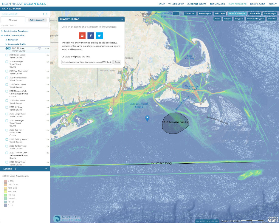
Portal users were always able to add custom points, lines with measured distances, and shapes to their own Data Explorer maps. But now those user-added features will also be captured in the Portal’s “Share This” tool, which generates a short URL to a custom map for sharing and bookmarking.
The new functionality allows Portal users to annotate custom maps in the Data Explorer and share those annotations on an interactive map. When a colleague opens the URL generated via the “Share This” tool, they will have access to an interactive version of the map, including any active layers from the Table of Contents as well as any custom points, lines, of shapes that were added to the map. Users can even add new or updated annotations to shared maps that already contain annotations using “Share This”, creating an iterative series of collaborative maps.
Try the updated tool in the Data Explorer by:
- Adding any layers to the map from the Table of Contents
- Clicking “Draw & Measure” in the toolbar in the top right corner of the map
- Adding points, polylines, polygons, or freehand polygons to the map
- Clicking “Share This” in the top right corner of the map to generate the short URL
- Copying and pasting the short URL in an email to a colleague
Demo: Using “Share This” Tool with User-Drawn Point, Line & Shape on Map


