“Data-sharing is critical for the public and decision-makers to have easy access to information they want and need to make decisions. The Northeast Ocean Data Portal has been a great partner in making their data available to state and other data portals as part of a regional network.”
Jeff Herter
New York Geographic Information Gateway
Northeast Ocean Data Portal User:
New York Department of State
In Consultation with:
New York Department of Environmental Conservation
Objective:
To incorporate 75 existing datasets from the Northeast Ocean Data Portal into the New York Geographic Information Gateway to support and advance ocean management in the state’s waters of Long Island Sound and offshore.
Related Ocean Uses:
![]()
Published: October 17, 2017
The borders of New York State encompass economically and ecologically important ocean waters that extend from Staten Island in the west to Montauk and Fisher’s Island in the east. Traditional ocean industries such as shipping and fishing have a long-standing interest in accessing these areas, and many residents rely on the ocean for year-round recreation.
With increasing pressures on ecological resources and the emergence of new ocean uses such as offshore wind development, the New York Department of State is working with stakeholders and federal and state agencies to understand the characteristics and needs of the State’s ocean uses and resources. The goal is to enable the State to make informed decisions that enhance New York’s ocean-based economy and improve the ecological health of New York’s coastal and ocean communities.
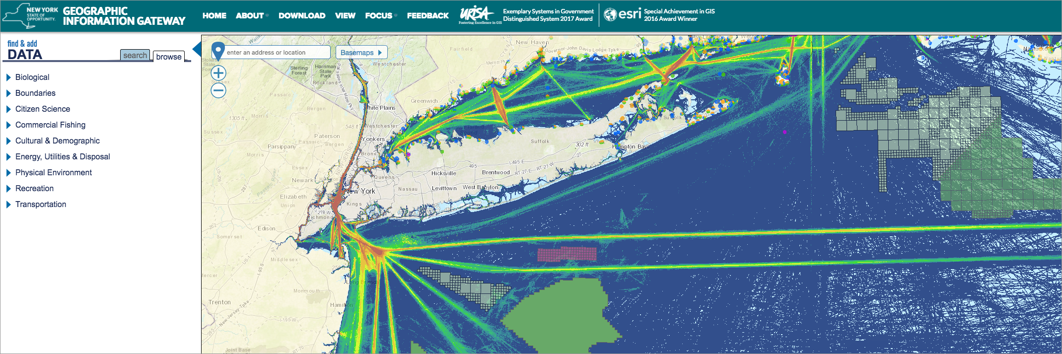
One important component of these efforts is the New York Geographic Information Gateway, a website that provides public access to maps, data, and information relevant throughout New York State. The Gateway enables users to easily download, visualize, and explore geographic data, and it serves as a decision-support tool, educational resource, and public communication tool.
Datasets from the Northeast Ocean Data Portal on marine life and ocean uses such as recreational fishing are supporting ocean planning in New York State. (Photo: Luyen Chou/Creative Commons)
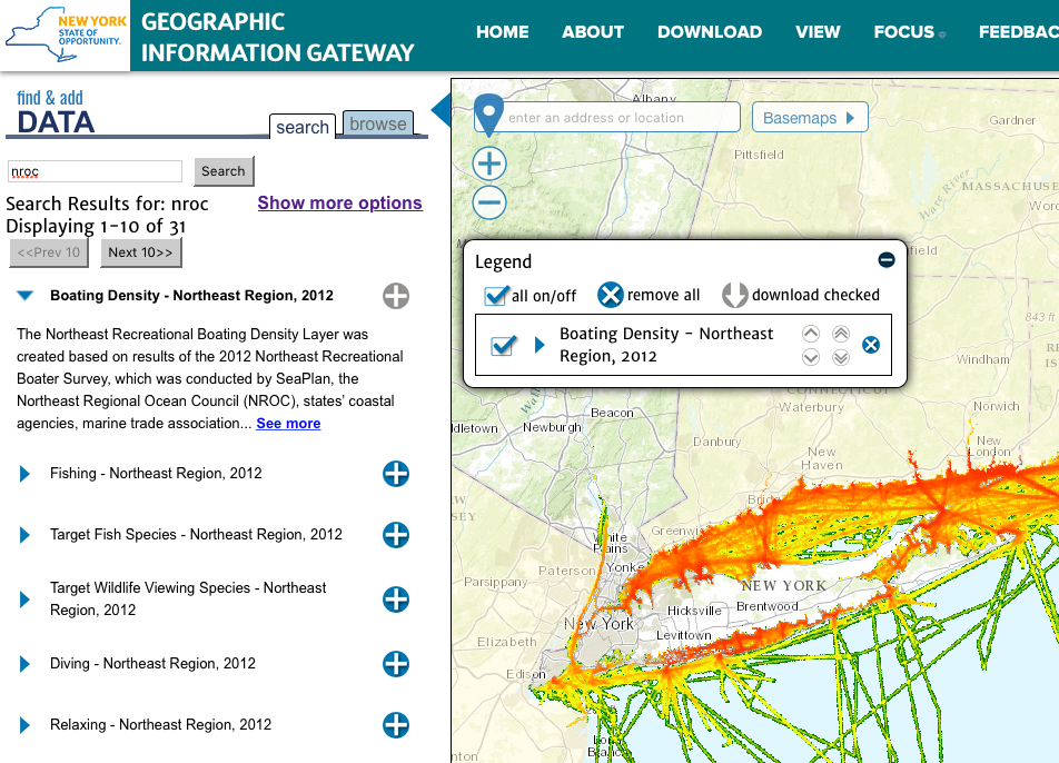
The Northeast Ocean Data Portal is supporting the New York Geographic Information Gateway by providing 75 datasets on living resources and ocean uses in Long Island Sound and offshore New England. The data are integrated seamlessly into the Gateway, so that people using the Gateway’s interactive map viewer can see the Portal data on the same map as the Gateway’s hundreds of other data types. Representatives from New York and Connecticut identified and requested these Portal datasets be added to the Gateway so that they could be used for spatial planning in Long Island Sound.
By incorporating data from the Portal into the New York Geographic Information Gateway, New York is leveraging several years’ worth of data development and related stakeholder engagement conducted by the Northeast Ocean Data Portal Working Group.


