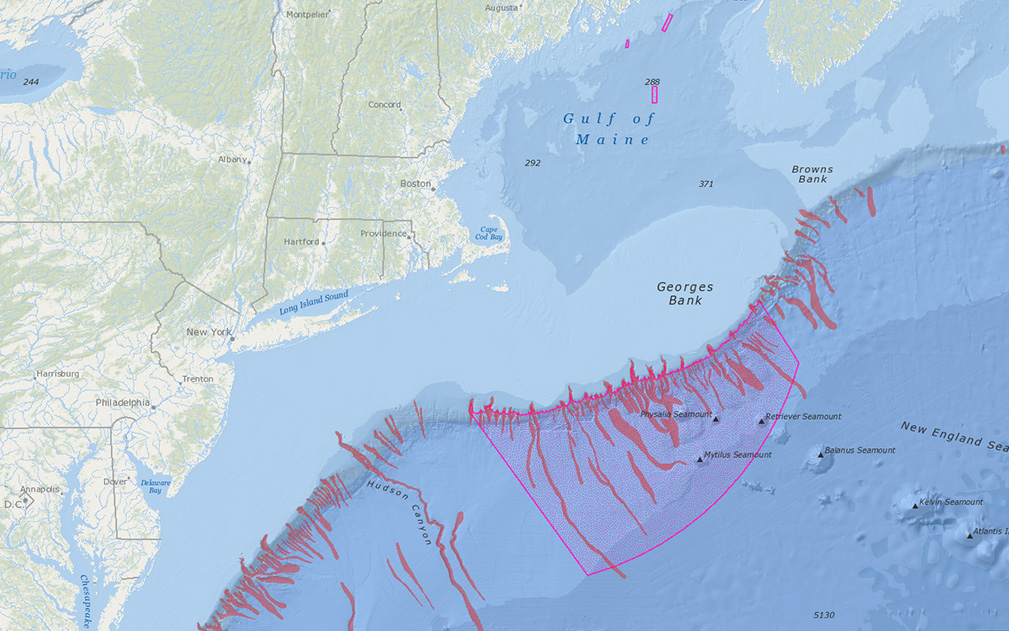
NEFMC Omnibus Deep-Sea Coral Amendment Areas with Deep-Sea Canyons
Current Issues Map Galleries Current Issues Map Galleries | Deep-Sea Corals NEFMC Omnibus Deep-Sea Coral Amendment Areas with Deep-Sea Canyons Launch Interactive Map Shareable link to interactive map: www.northeastoceandata.org/62CkmIAY Download pdf version Source...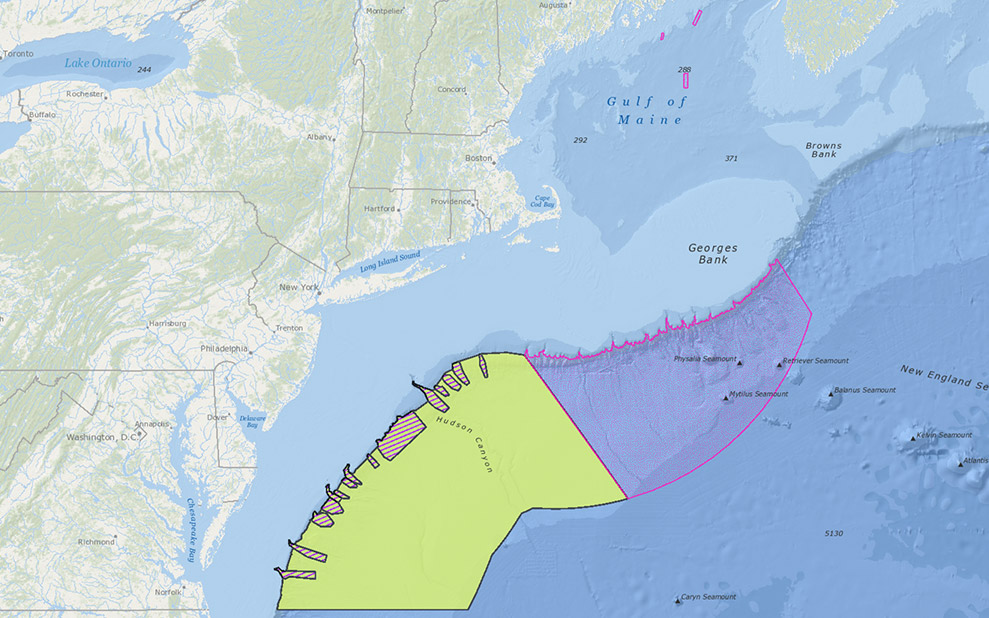
NEFMC Deep-Sea Coral Amendment Areas with Lautenberg Deep-Sea Coral Protection Area
Current Issues Map Galleries Current Issues Map Galleries | Deep-Sea Corals NEFMC Deep-Sea Coral Amendment Areas with Lautenberg Deep-Sea Coral Protection Area Launch Interactive Map Shareable link to interactive map: www.northeastoceandata.org/GUlyhn3c Download pdf...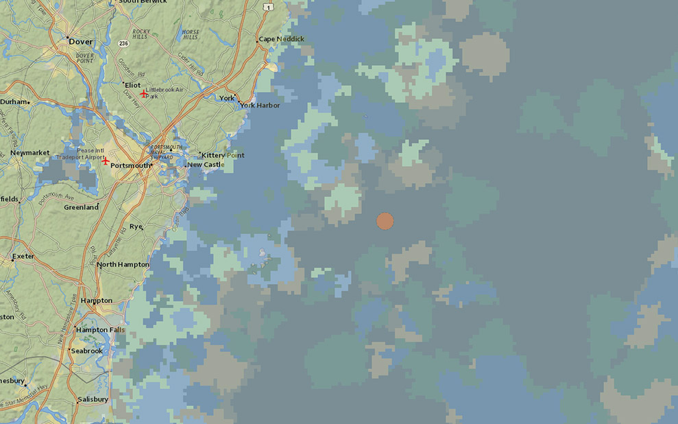
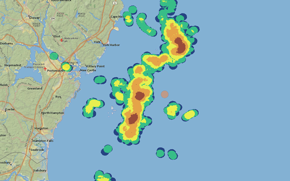
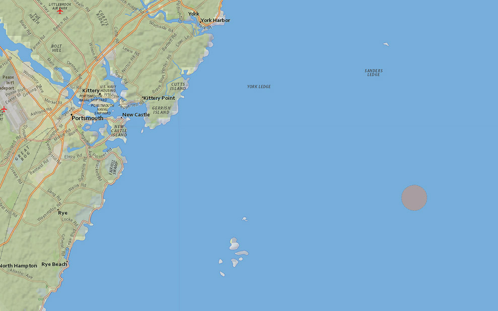
Isles of Shoals North Disposal Site with Soft Sediments (by grain size)
Current Issues Map Galleries Current Issues Map Galleries | Proposed Disposal Site Isles of Shoals North Disposal Site (Proposed) with Soft Sediments (by grain size) Launch Interactive Map Shareable link to interactive map: www.northeastoceandata.org/mRvOwvGS Download...