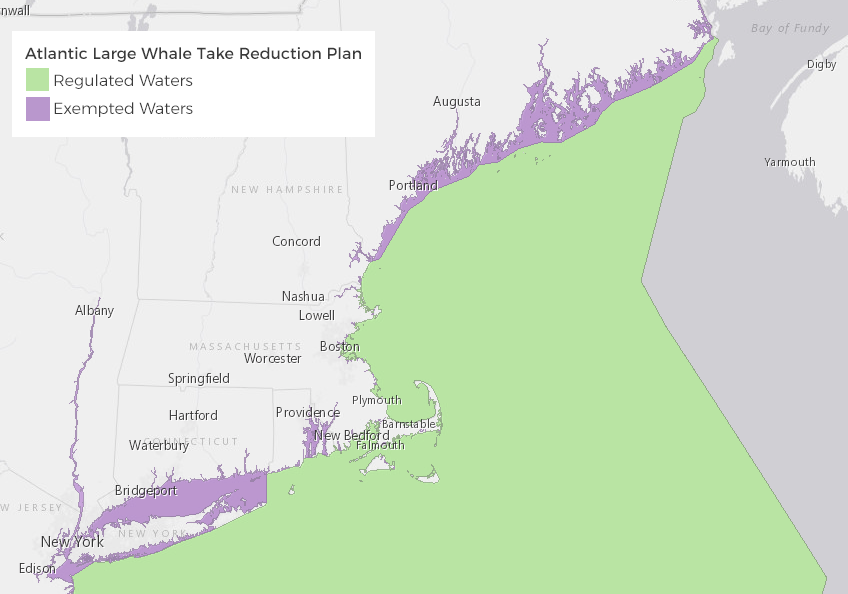
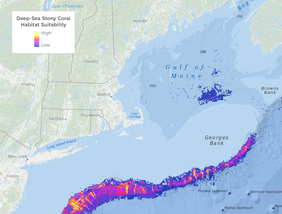
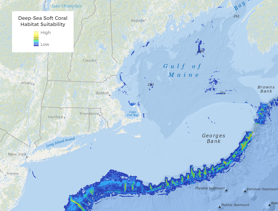
Regulated and exempted areas under the Atlantic Large Whale Take Reduction Plan (ALWTRP) can now be accessed on the Data Explorer under Commercial Fishing: Management Areas. In addition, maps of predicted deep-sea coral habitat have been revised; they can be viewed on either the Marine Life Habitat Theme Map or the Data Explorer.
Atlantic Large Whale Take Reduction Plan Regulated and Exempted Areas
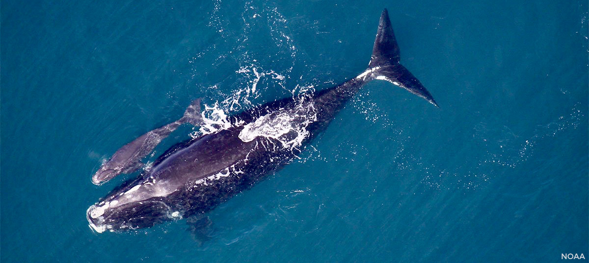
NOAA implemented the Atlantic Large Whale Take Reduction Plan to reduce injuries and deaths of humpback, fin, and right whales due to incidental entanglement in fishing gear from Maine to Florida. The ALWTRP applies to certain gillnet and trap/pot fisheries. The new maps show where ALWTRP regulations apply within U.S. waters in the Atlantic, and which areas are exempt.
The ALWTRP is an evolving plan that changes as NOAA learns more about why whales become entangled and how fishing practices might be modified to reduce the risk of entanglement. The current Plan includes restrictions on where and how gear can be set, including closures and gear modifications such as use of sinking groundline and weak links, trap minimums, and gear markings. Other components of the Plan include research on whale populations, whale behavior, and fishing gear interactions; outreach to inform and collaborate with fishermen; and a disentanglement program. Mapping data for the ALWTRP was provided by the NOAA Greater Atlantic Regional Fisheries Office.
Deep-Sea Corals
Due to changes in data availability from the national Marine Cadastre, the Portal has revised its deep-sea coral habitat maps. Also known as cold-water corals, deep-sea corals create complex communities that provide habitat for a variety of invertebrate and fish species, such as grouper, snapper, and sea bass. The revised maps now show habitat suitability for two broad groups of deep-sea corals: stony coral species and soft coral species. Previously available data focused on more specific groups of deep-sea corals.
The maps represent predictions of areas that may be suitable as habitat for deep-sea corals. The predictions are based on statistical modeling that relates known locations of deep-sea corals in the region to several environmental characteristics. Predictions from these habitat suitability models can be used to support conservation and management of deep-sea corals and to assist with targeting areas for mapping and exploration.


