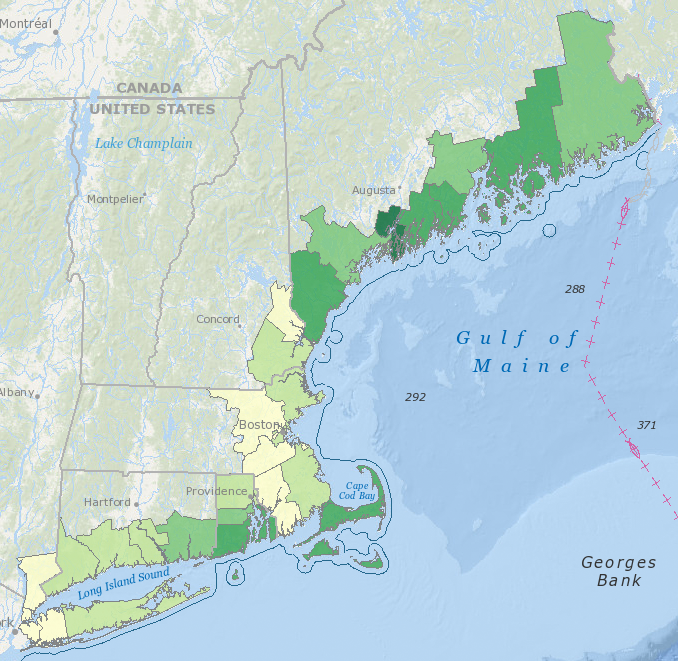
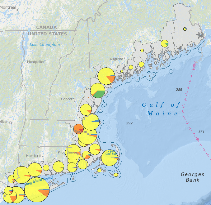
Northeast Ocean Data announces the release of new maps focused on the region’s coastal and ocean economy. These maps are part of a recent Baseline Assessment project that compiled best available information about Northeast natural resources and human uses, drawing from existing data and information from Northeast Ocean Data while also conducting new analysis to characterize the coastal and ocean economy.
Included in this release are regional-scale maps the can be found in the Data Explorer under Demography and Economy:
- Human population by town, 2013
- Human population growth by town, 2000-2013
- Residential housing units by town, 2010
- Seasonal housing by town, 2010
- Employment in ocean economy sectors by county, 2013
- Ocean economy employment as fraction of total employment by county, 2013
- Seasonal employment by county, 2013
- Gross domestic product (GDP) from ocean economy sectors by county, 2013
- Tourism and recreation establishments by county, 2013
- Marinas by county, 2013
- Seafood processing facilities by county, 2013
In addition, a Commercial fishery landings by port, 2012 map has been added under Commercial Fishing, and a Port cargo volumes, 2013 map is now available under Marine Transportation.
The maps are based primarily on two sources of information:
- The National Oceanic and Atmospheric Administration (NOAA) 2013 Economics: National Ocean Watch (ENOW) database. ENOW provides time-series data on the coastal and ocean economy from 2005 to 2013 derived from national accounts of the Bureau of Labor Statistics and the Bureau of Economic Analysis. ENOW’s four economic indicators are the number of business establishments, number of people employed, wages paid to employees, and contribution to gross domestic product.
- The US Bureau of the Census data and the Center for the Blue Economy (CBE) National Ocean Economics Program. CBE is a research and academic center with research demonstrating the value of ocean and coastal resources and the interdependence of a healthy ocean, well-managed coastline, and strong economy.
These new maps are a product of a multi-year effort to describe natural resources and human uses, as well as the connections between natural resources and economic value at a regional scale in the Northeast. For more information, please visit the Baseline Assessment page on the Northeast Regional Planning Body’s website. Here you will be able to download the full report and maps, learn about this new data, and link to more in-depth sources of information.


